
File:Adel mountains montana hardybridge.jpg
Size of this preview: 800 × 547 pixels. Other resolutions: 320 × 219 pixels | 640 × 438 pixels | 1,000 × 684 pixels.
Original file (1,000 × 684 pixels, file size: 1.35 MB, MIME type: image/jpeg)
| This is a file from the Wikimedia Commons. Information from its description page there is shown below. Commons is a freely licensed media file repository. You can help. |
Summary
| Description |
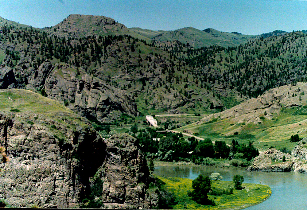
English: Adel Mountains Volcanic Field about 30 miles southwest of Great Falls, Montana, USA. The Missouri River can be seen in the lower right hand corner of the image. The Hardy Bridge is in the center of the image. |
| Date | |
| Source | Own work |
| Author | Tim1965 |
Licensing
I, the copyright holder of this work, hereby publish it under the following license:
This file is licensed under the Creative Commons Attribution 3.0 Unported license.
- You are free:
- to share – to copy, distribute and transmit the work
- to remix – to adapt the work
- Under the following conditions:
- attribution – You must give appropriate credit, provide a link to the license, and indicate if changes were made. You may do so in any reasonable manner, but not in any way that suggests the licensor endorses you or your use.
File history
Click on a date/time to view the file as it appeared at that time.
| Date/Time | Thumbnail | Dimensions | User | Comment | |
|---|---|---|---|---|---|
| current | 04:22, 19 November 2009 | | 1,000 × 684 (1.35 MB) | Tim1965 | {{Information |Description={{en|1=Adel Mountains Volcanic Field about 30 miles southwest of Great Falls, Montana, USA. The Missouri River can be seen in the lower right hand corner of the image. The Hardy Bridge is in the center of the image.}} |Source={{ |
File usage
The following pages on the English Wikipedia use this file (pages on other projects are not listed):