
File:A3220 Approaching the Holland Park Roundabout - geograph.org.uk - 425195.jpg
No higher resolution available.
A3220_Approaching_the_Holland_Park_Roundabout_-_geograph.org.uk_-_425195.jpg (640 × 480 pixels, file size: 97 KB, MIME type: image/jpeg)
| This is a file from the Wikimedia Commons. Information from its description page there is shown below. Commons is a freely licensed media file repository. You can help. |
Summary
| Description |
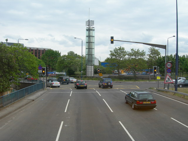
English: A3220 Approaching the Holland Park Roundabout Approaching the Holland Park Roundabout and heading south. Left for Holland Park, right for Shepherds Bush and ahead for Earls Court. The tower is called the Thames Water Tower.
This could not usually be photographed from this angle and this range as there are no overbridges anywhere along here that a pedestrian can use, and pedestrians and cycles are not permitted on the road itself. This photo was done from the top deck of a number 220 bus which was on diversion from its normal route along Wood Lane. |
| Date | |
| Source | From geograph.org.uk |
| Author | Danny Robinson |
| Camera location | | View this and other nearby images on: OpenStreetMap |
|---|
_heading:157.00&language=en)
| Object location | | View this and other nearby images on: OpenStreetMap |
|---|
_heading:157.00&language=en)
Licensing

|
This image was taken from the Geograph project collection. See this photograph's page on the Geograph website for the photographer's contact details. The copyright on this image is owned by Danny Robinson and is licensed for reuse under the Creative Commons Attribution-ShareAlike 2.0 license.
|
This file is licensed under the Creative Commons Attribution-Share Alike 2.0 Generic license.
Attribution: Danny Robinson
- You are free:
- to share – to copy, distribute and transmit the work
- to remix – to adapt the work
- Under the following conditions:
- attribution – You must give appropriate credit, provide a link to the license, and indicate if changes were made. You may do so in any reasonable manner, but not in any way that suggests the licensor endorses you or your use.
- share alike – If you remix, transform, or build upon the material, you must distribute your contributions under the same or compatible license as the original.
File history
Click on a date/time to view the file as it appeared at that time.
| Date/Time | Thumbnail | Dimensions | User | Comment | |
|---|---|---|---|---|---|
| current | 03:37, 4 February 2011 | | 640 × 480 (97 KB) | GeographBot | == {{int:filedesc}} == {{Information |description={{en|1=A3220 Approaching the Holland Park Roundabout Approaching the Holland Park Roundabout and heading south. Left for Holland Park, right for Shepherds Bush and ahead for Earls Court. The tower is calle |
File usage
The following pages on the English Wikipedia use this file (pages on other projects are not listed):