
File:1967-USGSTopoMapExcerpt.jpg
No higher resolution available.
1967-USGSTopoMapExcerpt.jpg (628 × 393 pixels, file size: 96 KB, MIME type: image/jpeg)
| This is a file from the Wikimedia Commons. Information from its description page there is shown below. Commons is a freely licensed media file repository. You can help. |
Summary
| Description |
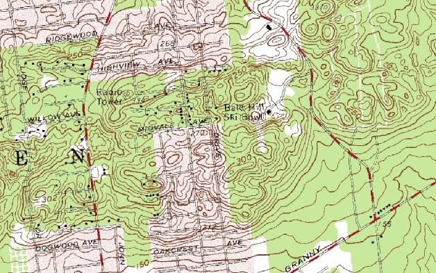
English: United States Geological Survey map excerpt showing the Bald Hill Ski Bowl area in Farmingville, New York |
| Date | |
| Source | Except of scan of 1967 USGS |
| Author | United States Geological Survey |
Licensing
This image is in the public domain in the United States because it only contains materials that originally came from the United States Geological Survey, an agency of the United States Department of the Interior. For more information, see the official USGS copyright policy.
|
File history
Click on a date/time to view the file as it appeared at that time.
| Date/Time | Thumbnail | Dimensions | User | Comment | |
|---|---|---|---|---|---|
| current | 13:45, 27 August 2009 | | 628 × 393 (96 KB) | Neighborhoodpalmreader | {{Information |Description={{en|1=United States Geological Survey map excerpt showing the Bald Hill Ski Bowl area in Farmingville, New York}} |Source=Except of scan of 1967 USGS |Author= United States Geological Survey |Date=1967 |Permission=See below | |
File usage
The following pages on the English Wikipedia use this file (pages on other projects are not listed):