
File:Šolta Nečujam OpenStreetMap 120829.png

Size of this preview: 800 × 526 pixels. Other resolutions: 320 × 210 pixels | 640 × 421 pixels | 847 × 557 pixels.
Original file (847 × 557 pixels, file size: 101 KB, MIME type: image/png)
| This is a file from the Wikimedia Commons. Information from its description page there is shown below. Commons is a freely licensed media file repository. You can help. |
| Description |
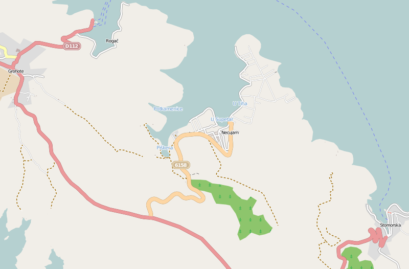
Deutsch: Diese (noch nicht ganz vollständige) Karte (Stand 28. August 2012) des offen Kartenerstellungsprojekts OpenStreetMap zeigt die Gegend von Nečujam auf der Insel Šolta / kroatischen Adria.
Diese Karte entstammt dem offenen OpenStreetMap Projekt, erstellt von der Community. Diese Karte kann unvollständig sein oder Fehler enthalten. Verlasse dich in Navigationsfragen nicht alleine darauf. English: This map was created from OpenStreetMap project data, collected by the community. This map may be incomplete, and may contain errors. Don't rely solely on it for navigation.
Español: Este mapa fue creado con los datos del proyecto OpenStreetMap, obtenidos por la comunidad. Este mapa puede estar incompleto, y puede contener errores. No se fíe solamente en él para las navegaciones.
Français : Cette carte a été créée à partir des données du projet OpenStreetMap. Cette carte est peut-être incomplète et peut contenir des erreurs. Ne vous fiez pas uniquement à elle pour vos déplacements.
Italiano: Questa mappa è stata creata con dati raccolti dal progetto OpenStreetMap. La mappa potrebbe essere incompleta e contenere errori. Non affidarsi esclusivamente ad essa per la navigazione. |
| Date | see file history |
| Source | www.openstreetmap.org |
| Author | OpenStreetMap contributors |
| Permission (Reusing this file) |
All OpenStreetMap data and maps are Creative Commons "CC-BY-SA 2.0" licensed This file is licensed under the Creative Commons Attribution-Share Alike 2.0 Generic license.
|
| Camera location | | View this and other nearby images on: OpenStreetMap |
|---|
File history
Click on a date/time to view the file as it appeared at that time.
| Date/Time | Thumbnail | Dimensions | User | Comment | |
|---|---|---|---|---|---|
| current | 15:39, 6 September 2012 | | 847 × 557 (101 KB) | Joadl | Current map |
| 19:44, 29 August 2012 |  | 727 × 489 (79 KB) | Joadl | {{Information |Description= {{de|Diese (noch nicht ganz vollständige) Karte (Stand 28. August 2012) des offen Kartenerstellungsprojekts OpenStreetMap zeigt die Gegend von Maslinica auf der Insel Šolta / [[:de:Kroatien... |
File usage
The following pages on the English Wikipedia use this file (pages on other projects are not listed):
Global file usage
The following other wikis use this file: