
Balltown, Iowa
Balltown, Iowa | |
|---|---|
 Mississippi overlook sign in Balltown, Iowa | |
 Location of Balltown, Iowa | |
| Coordinates: 42°38′15″N 90°52′7″W / 42.63750°N 90.86861°W | |
| Country | |
| State | |
| County | Dubuque |
| Area | |
| • Total | 0.07 sq mi (0.19 km2) |
| • Land | 0.07 sq mi (0.19 km2) |
| • Water | 0.00 sq mi (0.00 km2) |
| Elevation | 1,204 ft (367 m) |
| Population (2020) | |
| • Total | 79 |
| • Density | 1,097.22/sq mi (426.06/km2) |
| Time zone | UTC-6 (Central (CST)) |
| • Summer (DST) | UTC-5 (CDT) |
| ZIP code | 52073[2] |
| Area code | 563 |
| FIPS code | 19-04375 |
| GNIS feature ID | 0454338 |
Balltown is a city in Dubuque County, Iowa, United States. It is part of the Dubuque, Iowa Metropolitan Statistical Area. The population was 79 at the 2020 census, up from 73 in 2000.[3] Balltown is home to Breitbach's Country Dining, Iowa's oldest restaurant and bar, which was founded in 1852 and twice rebuilt by the community, following its destruction by fire in 2007 [4] and 2008.
Geography[edit]
Balltown is located at 42°38′15″N 90°52′7″W / 42.63750°N 90.86861°W (42.637504, -90.868622).[5]
According to the United States Census Bureau, the city has a total area of 0.09 square miles (0.23 km2), all land.[6]
History[edit]
Balltown was named for John Ball, an early settler said to have lived on a Mississippi river island before 1850.[7]
Demographics[edit]
| Year | Pop. | ±% |
|---|---|---|
| 1940 | 56 | — |
| 1950 | 49 | −12.5% |
| 1960 | 43 | −12.2% |
| 1970 | 79 | +83.7% |
| 1980 | 106 | +34.2% |
| 1990 | 74 | −30.2% |
| 2000 | 73 | −1.4% |
| 2010 | 68 | −6.8% |
| 2020 | 79 | +16.2% |
| Source:"U.S. Census website". United States Census Bureau. Retrieved March 28, 2020. and Iowa Data Center Source: | ||

2010 census[edit]
As of the census[9] of 2010, there were 68 people, 31 households, and 21 families living in the city. The population density was 755.6 inhabitants per square mile (291.7/km2). There were 33 housing units at an average density of 366.7 per square mile (141.6/km2). The racial makeup of the city was 98.5% White and 1.5% from two or more races.
There were 31 households, of which 19.4% had children under the age of 18 living with them, 67.7% were married couples living together, and 32.3% were non-families. 29.0% of all households were made up of individuals, and 22.6% had someone living alone who was 65 years of age or older. The average household size was 2.19 and the average family size was 2.67.
The median age in the city was 47 years. 17.6% of residents were under the age of 18; 4.4% were between the ages of 18 and 24; 25% were from 25 to 44; 22% were from 45 to 64; and 30.9% were 65 years of age or older. The gender makeup of the city was 50.0% male and 50.0% female.
2000 census[edit]
As of the census[10] of 2000, there were 73 people, 29 households, and 22 families living in the city. The population density was 1,233.4 inhabitants per square mile (476.2/km2). There were 31 housing units at an average density of 523.8 per square mile (202.2/km2). The racial makeup of the city was 91.78% White and 8.22% African American. Hispanic or Latino of any race were 1.37% of the population.
There were 29 households, out of which 17.2% had children under the age of 18 living with them, 62.1% were married couples living together, 10.3% had a female householder with no husband present, and 24.1% were non-families. 24.1% of all households were made up of individuals, and 10.3% had someone living alone who was 65 years of age or older. The average household size was 2.52 and the average family size was 2.91.
19.2% are under the age of 18, 15.1% from 18 to 24, 15.1% from 25 to 44, 30.1% from 45 to 64, and 20.5% who were 65 years of age or older. The median age was 50 years. For every 100 females, there were 135.5 males. For every 100 females age 18 and over, there were 118.5 males.
The median income for a household in the city was $40,625, and the median income for a family was $49,063. Males had a median income of $36,250 versus $16,875 for females. The per capita income for the city was $24,241. None of the population and none of the families were below the poverty line.
Education[edit]
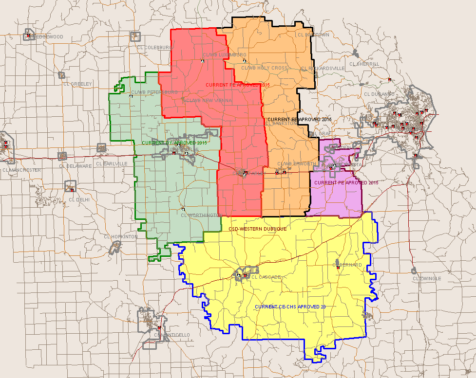
Residents are within the Western Dubuque Community School District.[11] Zoned schools include Epworth Elementary School in Epworth,[12] Drexler Middle School in Farley, and Western Dubuque High School in Epworth.[13]
References[edit]
- ^ "2020 U.S. Gazetteer Files". United States Census Bureau. Retrieved March 16, 2022.
- ^ "Balltown IA ZIP Code". zipdatamaps.com. 2024. Retrieved February 5, 2024.
- ^ a b "2020 Census State Redistricting Data". census.gov. United states Census Bureau. Retrieved August 12, 2021.
- ^ Gravelle, Steve. Fire destroys landmark restaurant in Balltown, The Gazette, 2007-12-24. Accessed 2007-12-25.
- ^ "US Gazetteer files: 2010, 2000, and 1990". United States Census Bureau. February 12, 2011. Retrieved April 23, 2011.
- ^ "US Gazetteer files 2010". United States Census Bureau. Archived from the original on July 2, 2012. Retrieved May 11, 2012.
- ^ Klinkenberg, Dean (October 1, 2009). Travel Guide-Lansing Iowa to Leclaire: Along the Mississippi River in Iowa, Illinois and Wisconsin: Lansing Iowa to Leclaire. Dean Klinkenberg. p. 83. ISBN 9780971690448. Retrieved May 4, 2013.
- ^ "Census of Population and Housing". Census.gov. Retrieved June 4, 2015.
- ^ "U.S. Census website". United States Census Bureau. Retrieved May 11, 2012.
- ^ "U.S. Census website". United States Census Bureau. Retrieved January 31, 2008.
- ^ "Western Dubuque Archived 2018-04-27 at the Wayback Machine." Iowa Department of Education. Retrieved on July 24, 2018.
- ^ "2017 Elementary Boundaries." Western Dubuque Community School District. Retrieved on July 24, 2018. Detail on Balltown, Holy Cross, and Rickardsville
- ^ "WDHS Boundary map." Western Dubuque Community School District. Retrieved on July 24, 2018.
Municipalities and communities of Dubuque County, Iowa, United States | ||
|---|---|---|
| Cities |  | |
| Townships | ||
| Unincorporated communities | ||
| Footnotes | ‡This populated place also has portions in an adjacent county or counties | |