
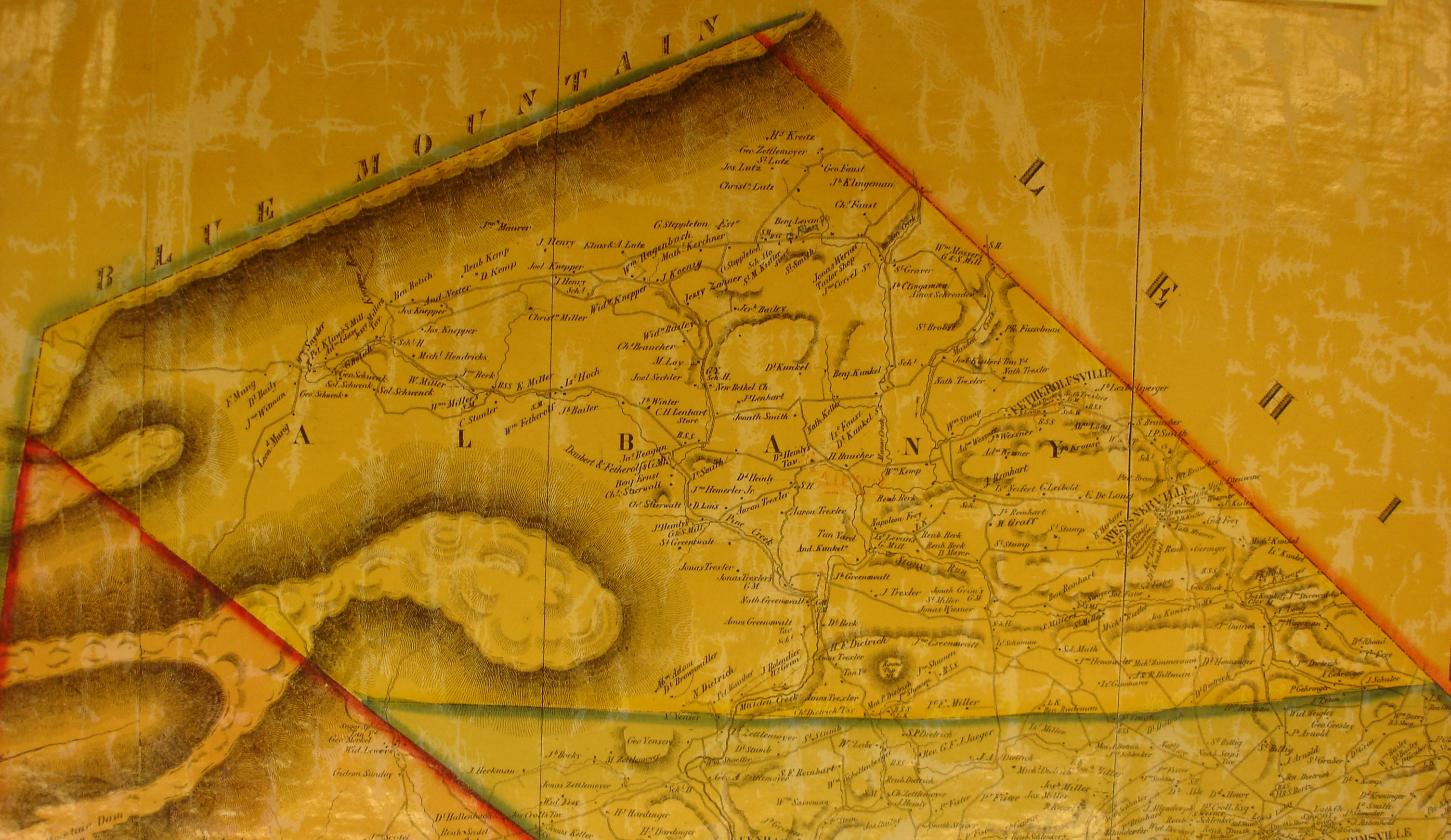
Albany Township, Berks County, Pennsylvania
Albany Township | |
|---|---|
 A farm in Albany Township | |
 | |
 Albany Township Location of Albany Township in Pennsylvania  Albany Township Location in the United States | |
| Coordinates: 40°37′41″N 75°53′14″W / 40.62806°N 75.88722°W | |
| Country | United States |
| State | Pennsylvania |
| County | Berks |
| Area | |
| • Total | 39.83 sq mi (103.15 km2) |
| • Land | 39.76 sq mi (102.97 km2) |
| • Water | 0.07 sq mi (0.18 km2) |
| Elevation | 515 ft (157 m) |
| Population | |
| • Total | 1,664 |
| • Estimate (2021)[2] | 1,665 |
| • Density | 43.47/sq mi (16.78/km2) |
| Time zone | UTC-5 (EST) |
| • Summer (DST) | UTC-4 (EDT) |
| Area code(s) | 610 |
Albany Township is a township in Berks County, Pennsylvania, United States. The population was 1,664 at the 2020 census.[2] The township hall is located in Kempton.
Geography[edit]
According to the U.S. Census Bureau, the township has a total area of 40.2 square miles (104 km2), all land. It is in the Schuylkill watershed and the northern and western portions are on Blue Mountain. Its villages include Albany, Eckville, Greenawald, Kempton, Stony Run, and Trexler.
Albany Township has a humid continental climate (Dfa/Dfb) and the hardiness zones are 6a and 6b. The average monthly temperatures in Kempton range from 28.2 °F in January to 73.1 °F in July.[3]
Adjacent townships
- Greenwich Township (South)
- Windsor Township (Southwest)
- West Brunswick Township (West)
- East Brunswick Township (North)
- West Penn Township (Far North)
- Lynn Township (Northeast)
- Weisenberg Township (East)
Demographics[edit]
At the 2010 census, there were 1,724 people, 667 households, and 489 families in the township. The population density was 42.9 people per square mile. There were 721 housing units at an average density of 17.9/sq mi . The racial makeup of the township was 98.6% White, 0.5% African American, 0.1% Asian, 0.1% from other races, and 0.6% from two or more races. Hispanic or Latino of any race were 1.4%.[5]
There were 667 households, 28.6% had children under the age of 18 living with them, 63.3% were married couples living together, 5.4% had a female householder with no husband present, and 26.7% were non-families. 21.9% of households were made up of individuals, and 7.9% were one person aged 65 or older. The average household size was 2.58 and the average family size was 3.00.
The age distribution was 22.9% under the age of 18, 6.4% from 18 to 24, 29.4% from 25 to 44, 35.0% from 45 to 64, and 14.8% 65 or older. The median age was 44.8 years. For every 100 females, there were 107.0 males.
In 1999, The median household income was $46,830, and the median family income was $50,455. Males had a median income of $36,553 versus $25,603 for females. The per capita income for the township was $21,509. About 2.7% of families and 4.0% of the population were below the poverty line, including 1.6% of those under age 18 and 6.0% of those age 65 or over.
Recreation[edit]
Albany Township is home to Hawk Mountain Sanctuary and the Wanamaker, Kempton & Southern heritage railroad. The Kempton Community Center hosts the annual Pennsylvania Renewable Energy Festival in September.
Portions of the Pennsylvania State Game Lands Number 106, which passes a part of the Appalachian National Scenic Trail, is located along the northern border of the township.[6][7]
Transportation[edit]

As of 2007, there were 75.49 miles (121.49 km) of public roads in Albany Township, of which 19.59 miles (31.53 km) were maintained by the Pennsylvania Department of Transportation (PennDOT) and 55.90 miles (89.96 km) were maintained by the township.[8]
Numbered routes in Albany Township are Pennsylvania Route 143 and Pennsylvania Route 737, which ends on PA 143 in Kempton. East–west roads of note are Hawk Mountain Road/Stony Run Valley Road and Kistler Valley Road.
References[edit]
- ^ "2016 U.S. Gazetteer Files". United States Census Bureau. Retrieved August 13, 2017.
- ^ a b c d Bureau, US Census. "City and Town Population Totals: 2020-2021". Census.gov. US Census Bureau. Retrieved July 9, 2022.
- ^ [1]
- ^ "Census of Population and Housing". Census.gov. Retrieved June 4, 2016.
- ^ "U.S. Census website". United States Census Bureau. Retrieved January 31, 2008.
- ^ https://viewer.nationalmap.gov/advanced-viewer/ The National Map, retrieved 27 October 2018
- ^ Pennsylvania State Game Lands Number 106, retrieved 27 October 2018
- ^ "Albany Township map" (PDF). PennDOT. Retrieved March 14, 2023.
External links[edit]

| International | |
|---|---|
| National | |