
File:Indiana-Michigan boundary stone northwest of South Bend.jpg
Size of this preview: 800 × 600 pixels. Other resolutions: 320 × 240 pixels | 640 × 480 pixels | 1,024 × 768 pixels | 1,280 × 960 pixels | 2,560 × 1,920 pixels | 2,816 × 2,112 pixels.
Original file (2,816 × 2,112 pixels, file size: 2.19 MB, MIME type: image/jpeg)
| This is a file from the Wikimedia Commons. Information from its description page there is shown below. Commons is a freely licensed media file repository. You can help. |
| Camera location | | View this and other nearby images on: OpenStreetMap |
|---|
| Description |
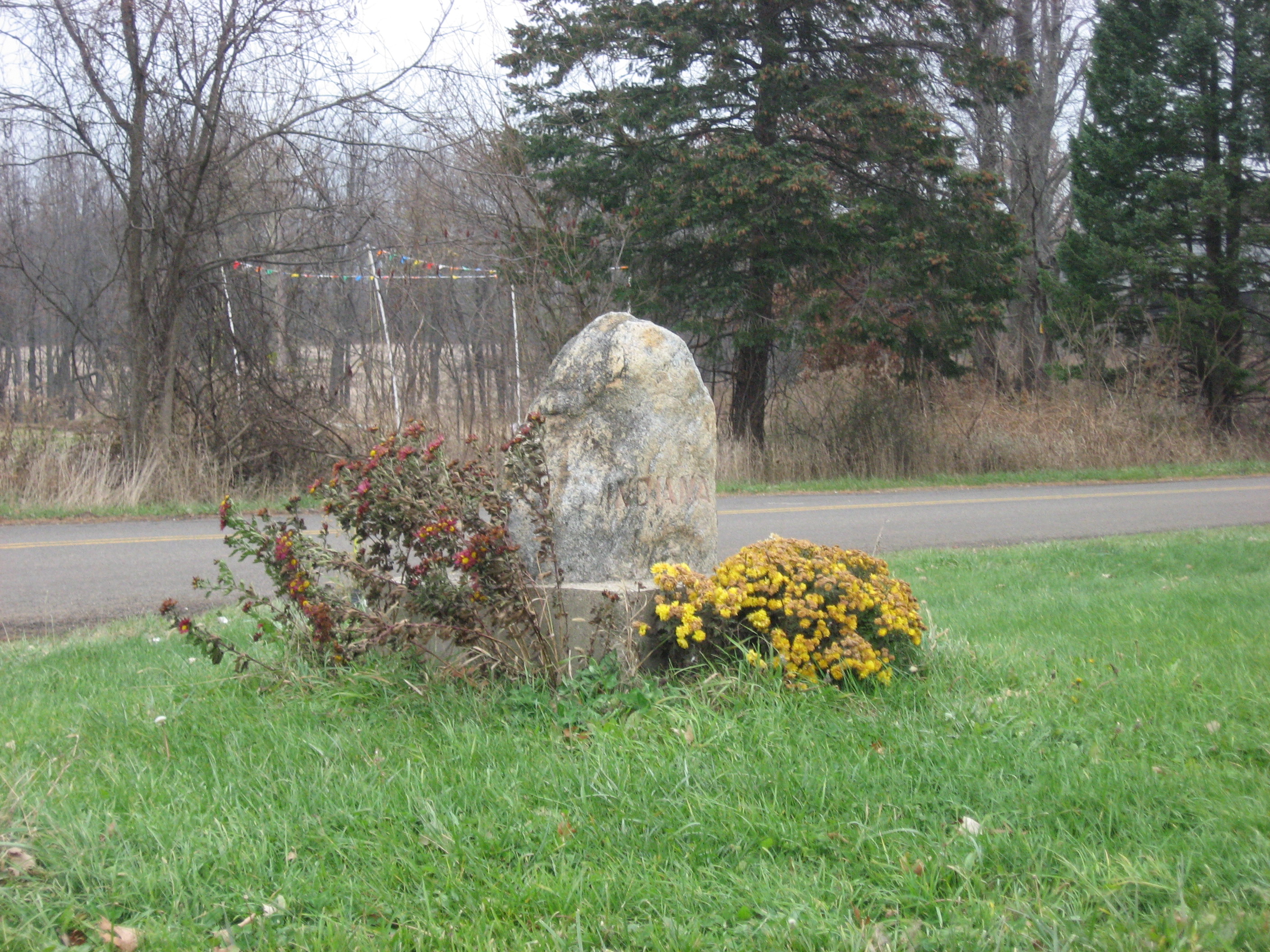
English: Boundary stone on the Indiana-Michigan border near South Bend, Indiana, United States. This stone marks the boundary at the junction of Chicago and Redwood Roads, about 10 miles northwest of downtown South Bend. |
||
| Date | Taken on 16 November 2013 | ||
| Source | Own work | ||
| Author | Nyttend | ||
| Permission (Reusing this file) |
|
File history
Click on a date/time to view the file as it appeared at that time.
| Date/Time | Thumbnail | Dimensions | User | Comment | |
|---|---|---|---|---|---|
| current | 21:41, 17 November 2013 | | 2,816 × 2,112 (2.19 MB) | Nyttend | {{Location|37|45|35.5|N|86|23|40.2|W}} {{Information |Description={{en|Boundary stone on the {{w|Indiana}}-{{w|Michigan}} border near {{w|South Bend, Indiana|South Bend}}, Indiana, {{w|United States}}. This stone marks the boundary at the junction of ... |
File usage
The following pages on the English Wikipedia use this file (pages on other projects are not listed):
Global file usage
The following other wikis use this file:
- Usage on ar.wikipedia.org
- Usage on es.wikipedia.org
- Usage on eu.wikipedia.org
- Usage on mr.wikipedia.org
- Usage on ur.wikipedia.org
- Usage on vi.wikipedia.org
- Usage on www.wikidata.org
- Usage on zh.wikipedia.org